Tongariro Alpine Crossing: Honest Tips for an Unforgettable Day
Quick facts
- Distance: 12.7 miles (20.4 km) one way on our watch, Mangatepopo to Ketetahi. DOC lists it as 19.4 km (12 miles)
- Our time: about 7 hours with stops (07:41 to 14:37)
- High point: Red Crater, about 6,200 ft (1,900 m)
- Climb: about 3,000 ft (910 m) up on our watch, then about 4,300 ft (1,320 m) down
- When we did it: early November 2019, with snow still on the upper track
- Getting there: shuttle only. Since the November 2025 fire, private cars cannot drive into Mangatepopo
- Book ahead: free, on the DOC Tongariro Alpine Crossing page
- Difficulty: hard. A long alpine day where the weather changes fast
- Our rating: 10/10. We would do it again every time we could
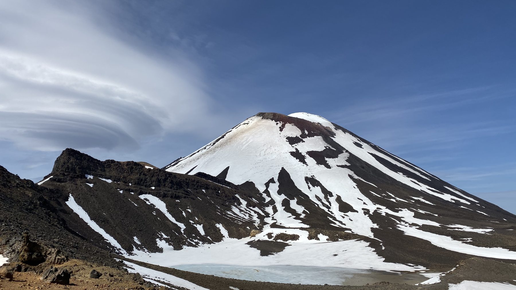
The Tongariro Alpine Crossing is the hike everyone told us not to miss on the North Island, and they were right. It is a full day on the side of active volcanoes: steaming ground, a red crater, bright green lakes and views all the way to Lake Taupo. However, it is also no joke. Here is how our day went and what we would tell anyone doing it for the first time.
Booking the shuttle
The track is one way, so you need a ride. We did not book ahead. Instead, the Taupo i-SITE visitor centre booked everything for us. The shuttle picked us up right at our Airbnb and dropped us at Mangatepopo, and it was great. If you are staying in Taupo, this is the easy way to do it.
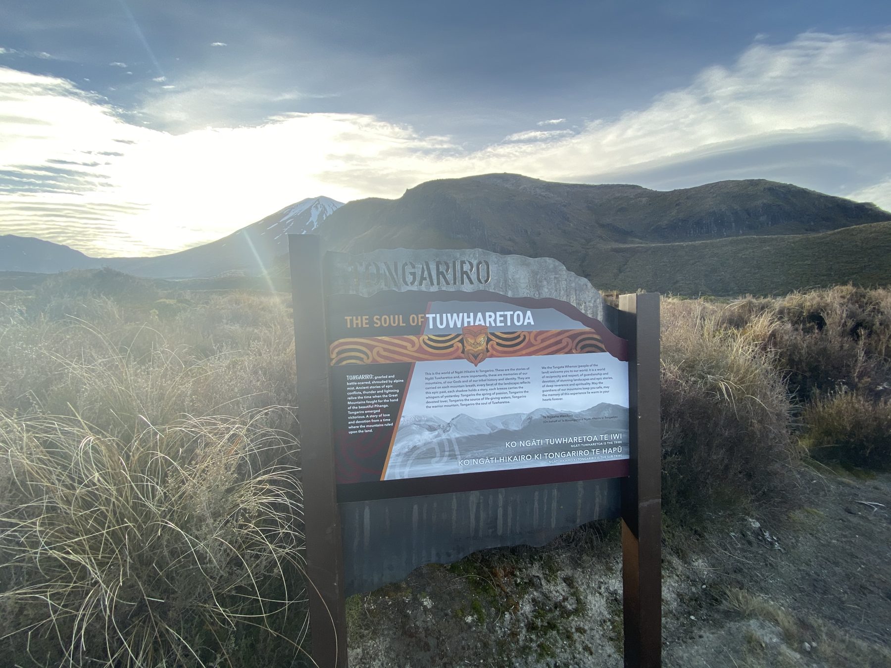
Things have changed since our hike, though. After a wildfire in November 2025, private cars can no longer drive into Mangatepopo, so the shuttle is now the only practical way to start. The Department of Conservation also recommends booking your spot on the track, which is free, before you go. Check the DOC Tongariro Alpine Crossing page for the latest conditions. Near the start you will now see burnt ground, and the area is under a 10-year rāhui while it recovers, so stay on the track.
Our day on the track
Mangatepopo to Soda Springs
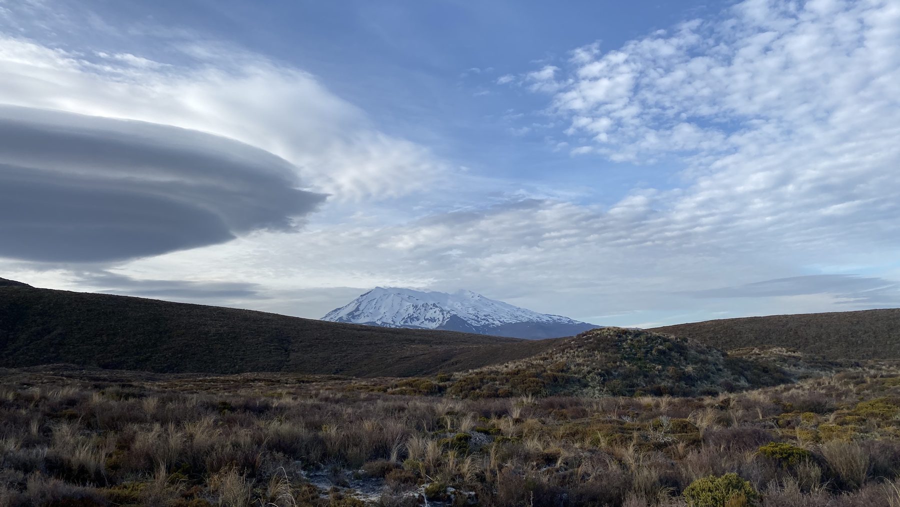
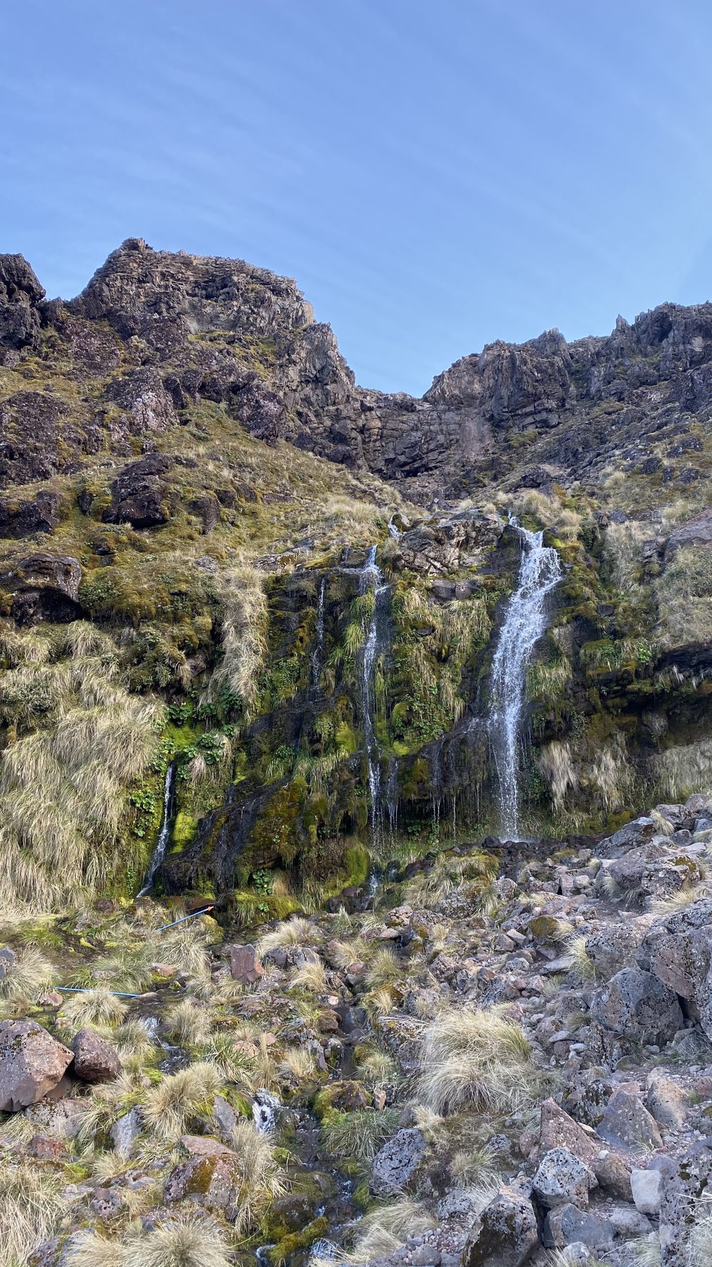
We started just after 7:30 under a sky full of lenticular clouds stacked over Ruapehu. The first stretch is a gentle climb up the valley to the Soda Springs waterfall.
The Devil’s Staircase and South Crater
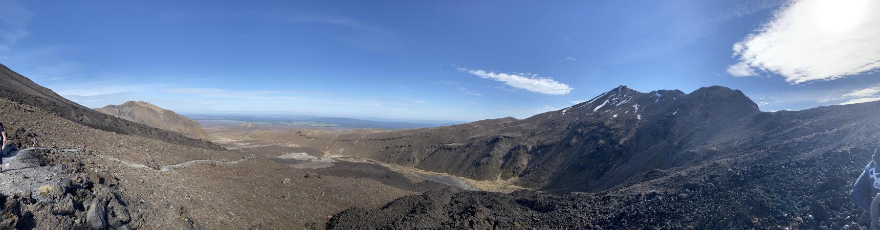
After that, the real climbing starts. By about 9:15 we were crossing South Crater, a huge flat basin that was still snow-covered in early November, with the cone of Ngauruhoe right beside the track.
Red Crater
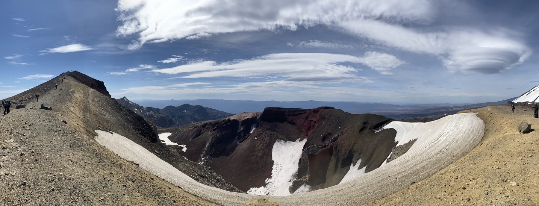
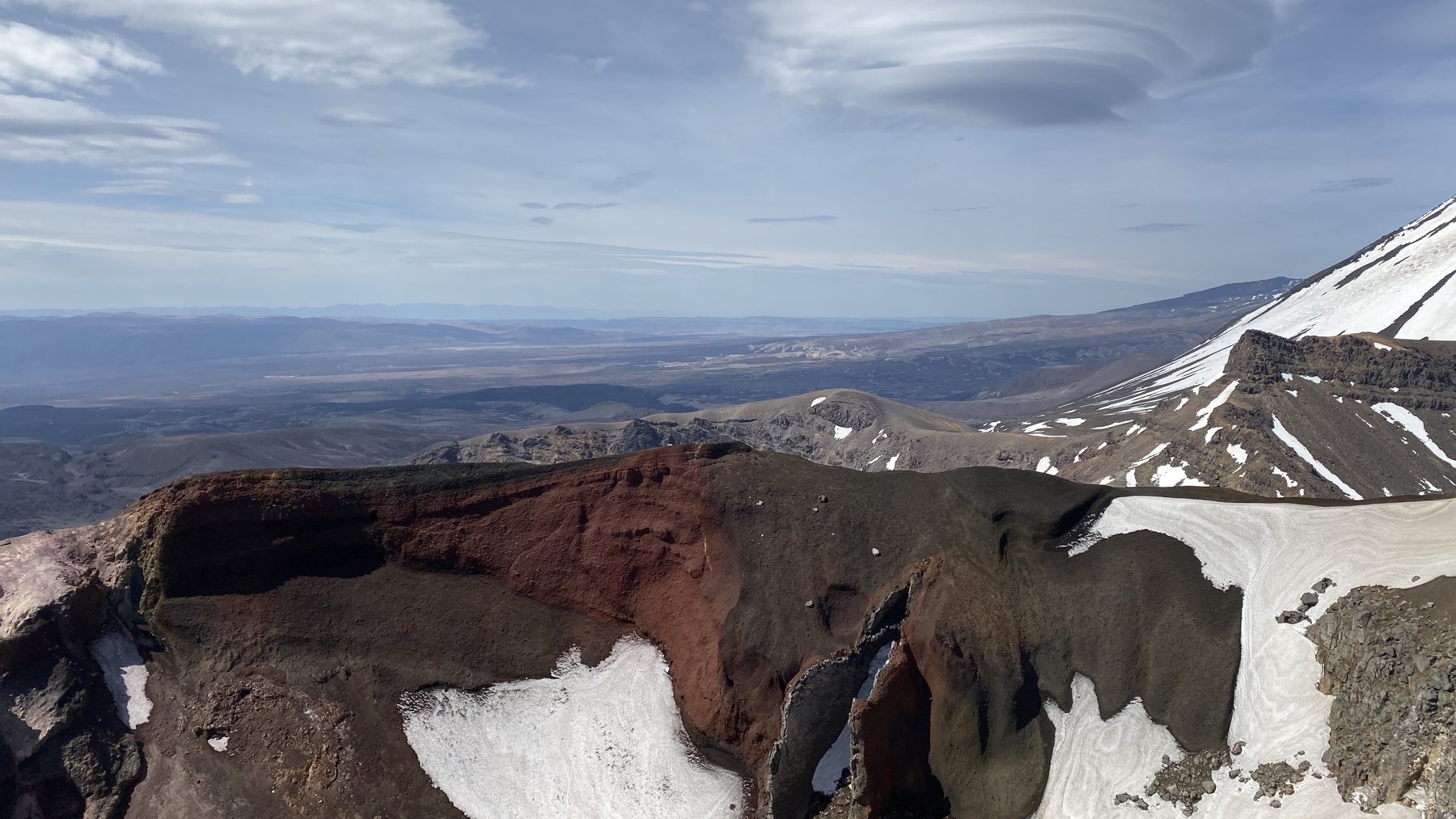
Red Crater is the high point and was the windiest part of our day, so it was layers back on up here. The crater really is red, and the ridge drops away on both sides.
Emerald Lakes and Blue Lake
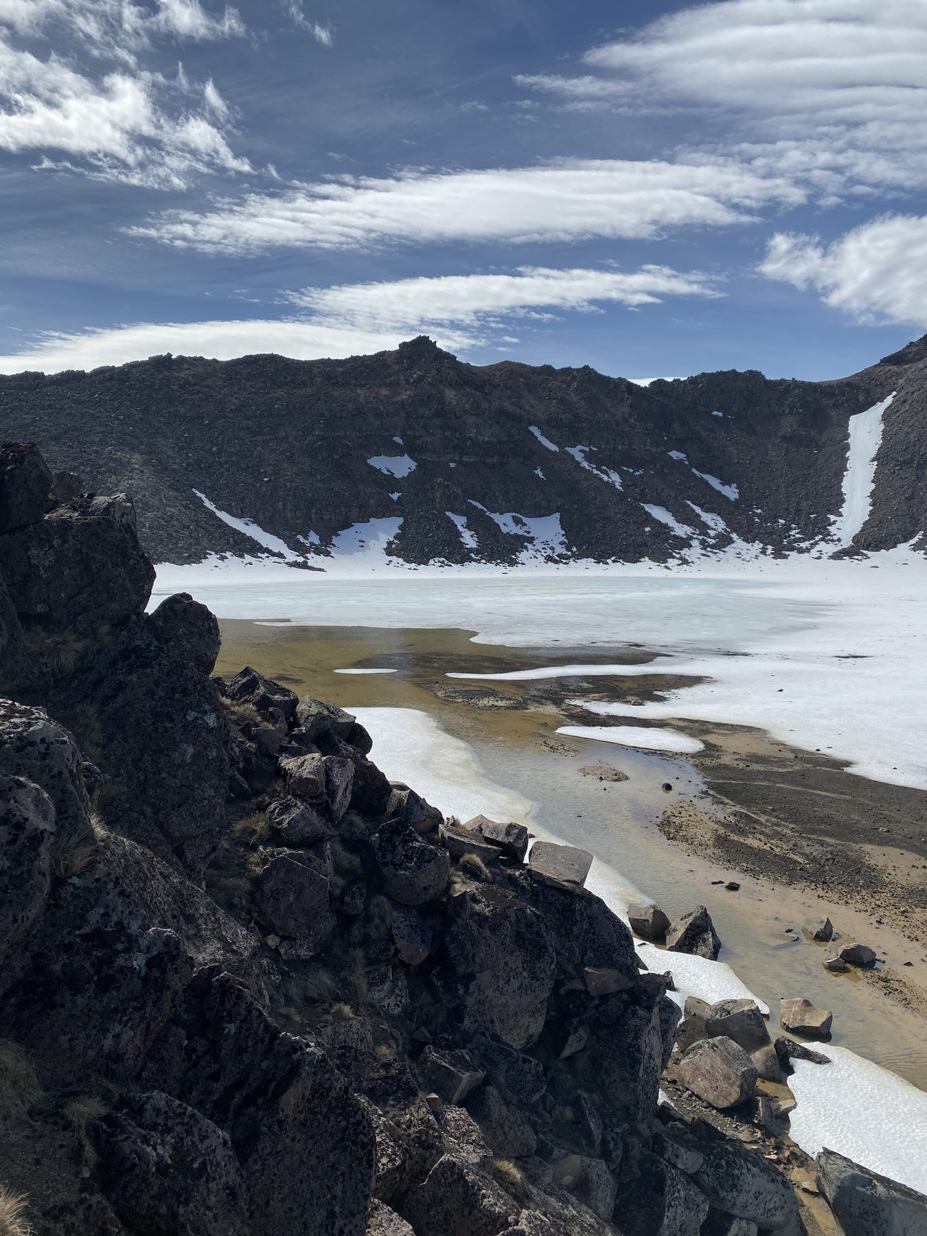
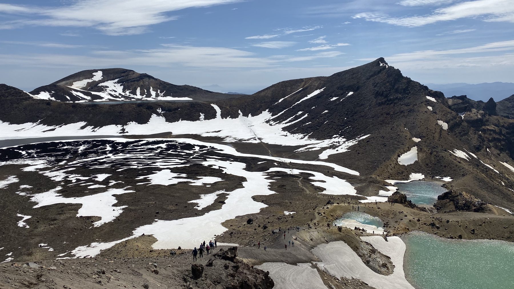
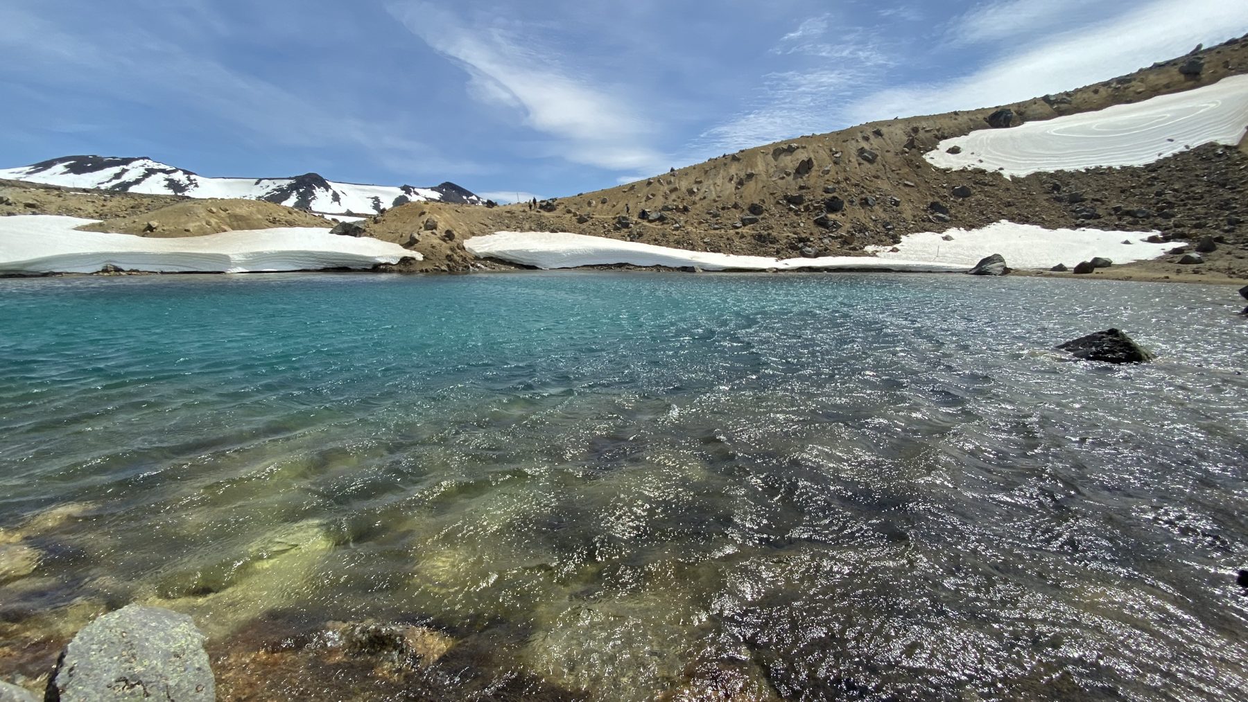
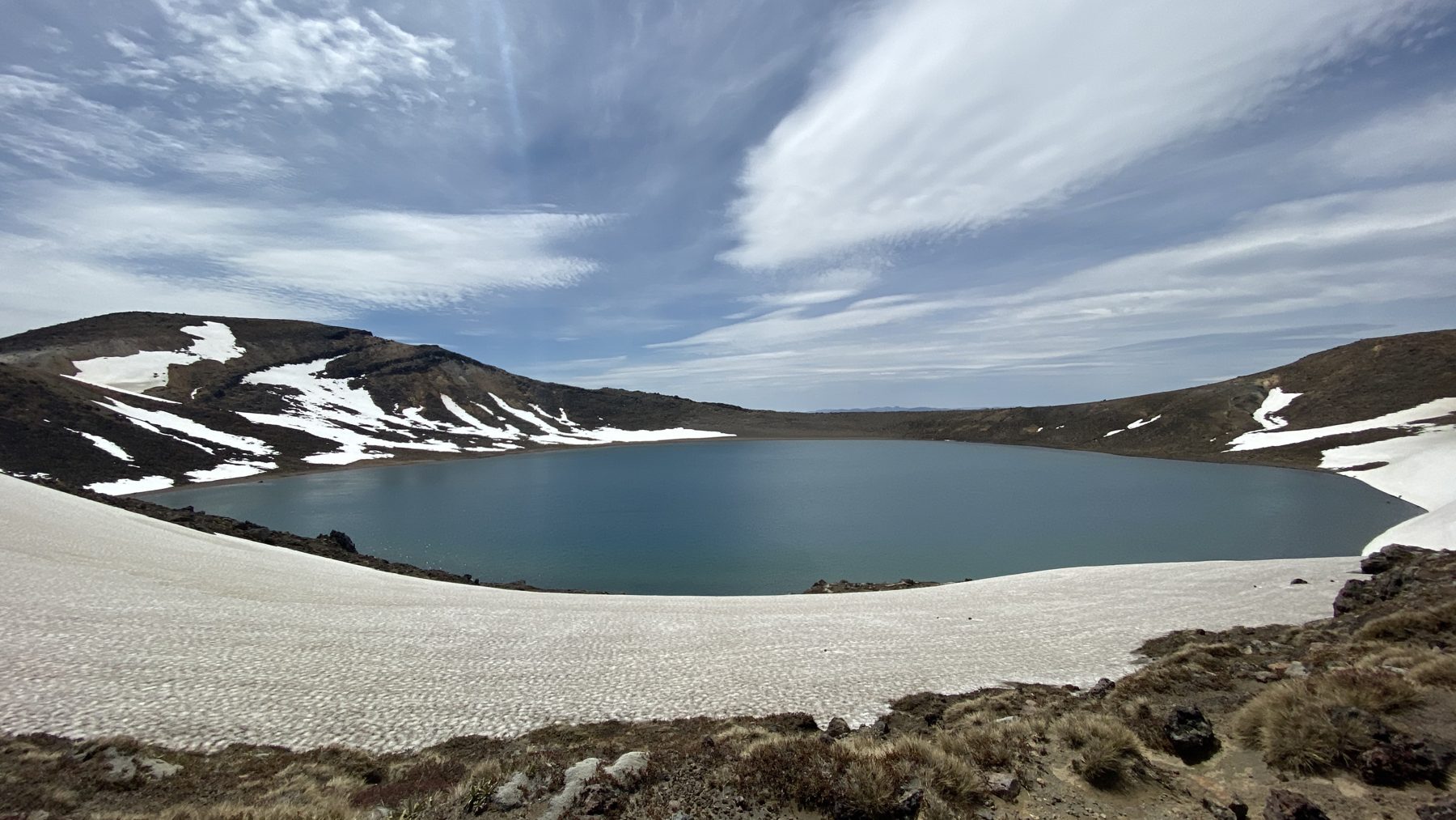
From there, the descent off Red Crater is loose scree down to the Emerald Lakes, which were half-frozen with snow around them when we went. After that comes a flat walk across Central Crater to Blue Lake.
The long descent to Ketetahi
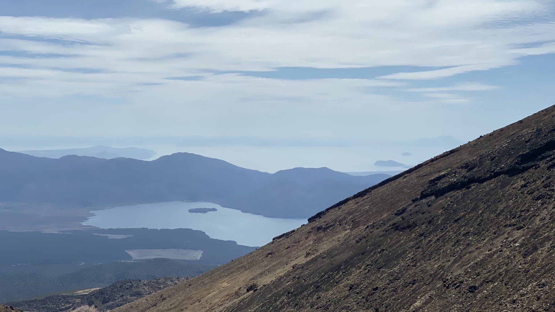
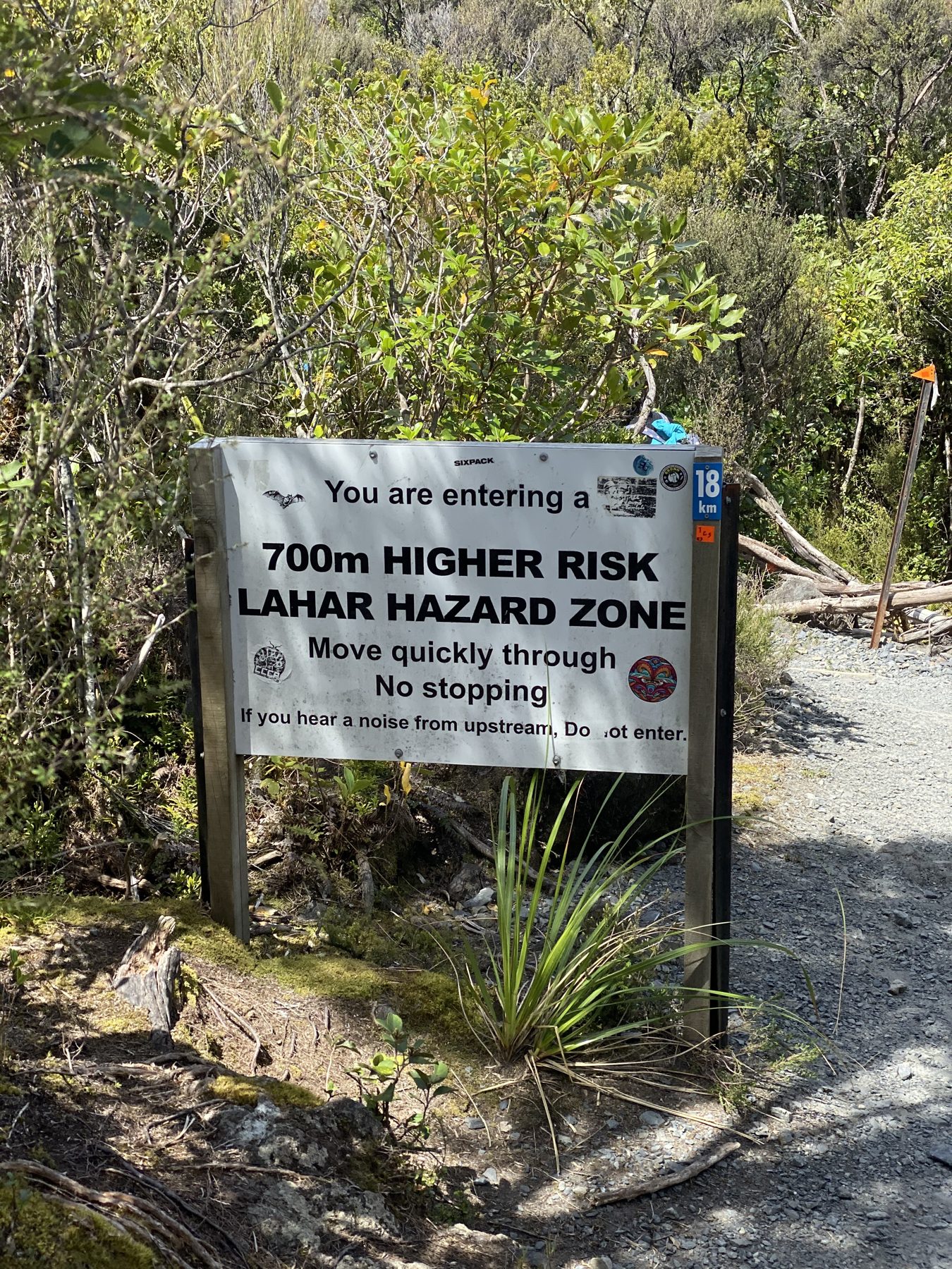
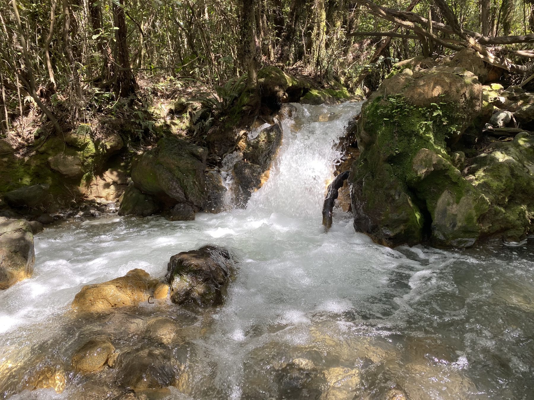
From here it is downhill for a long time, with Lake Taupo in view most of the way. Finally, near the bottom you walk through a lahar hazard zone. The sign tells you to move quickly through without stopping, so do exactly that. The last section drops into native bush along a stream, a welcome change after a day on bare volcano.
What to know before you go
Layers, layers, layers. It starts early and cold, then warms up as you climb. On the ridges near the top you will want every layer back on, and then you shed them again on the way down. Be ready for whatever weather comes. This is the biggest thing.
Water. The official advice is a minimum of 2 litres (about half a gallon) per person, and more on hot days. There is nowhere to refill along the track. We carried 3 litres between two of us, and next time we would carry more.
Food. Because it is such a long day, a protein bar and a sandwich is the bare minimum. In other words, bring more than you think you need.
Footwear. Proper hiking shoes or boots are a must. You get firm-packed trail, loose sand and scree, and rocks, sometimes all in the same hour. Our shuttle company offered hiking boots if you did not have your own, so ask when you book.
Check conditions. Above all, the weather up there changes fast, and we still had snow on the upper track in November. From May to October the crossing is a winter alpine trip that needs crampons, an ice axe and avalanche knowledge, or a guide. For this reason, check the MetService Tongariro forecast the night before and again in the morning.
The bite
On the trail it was sandwiches and protein bars. Once the shuttle dropped us back, we went into town for a big Mexican feast, and after 12.7 miles over a volcano we had earned every bite.
Our track
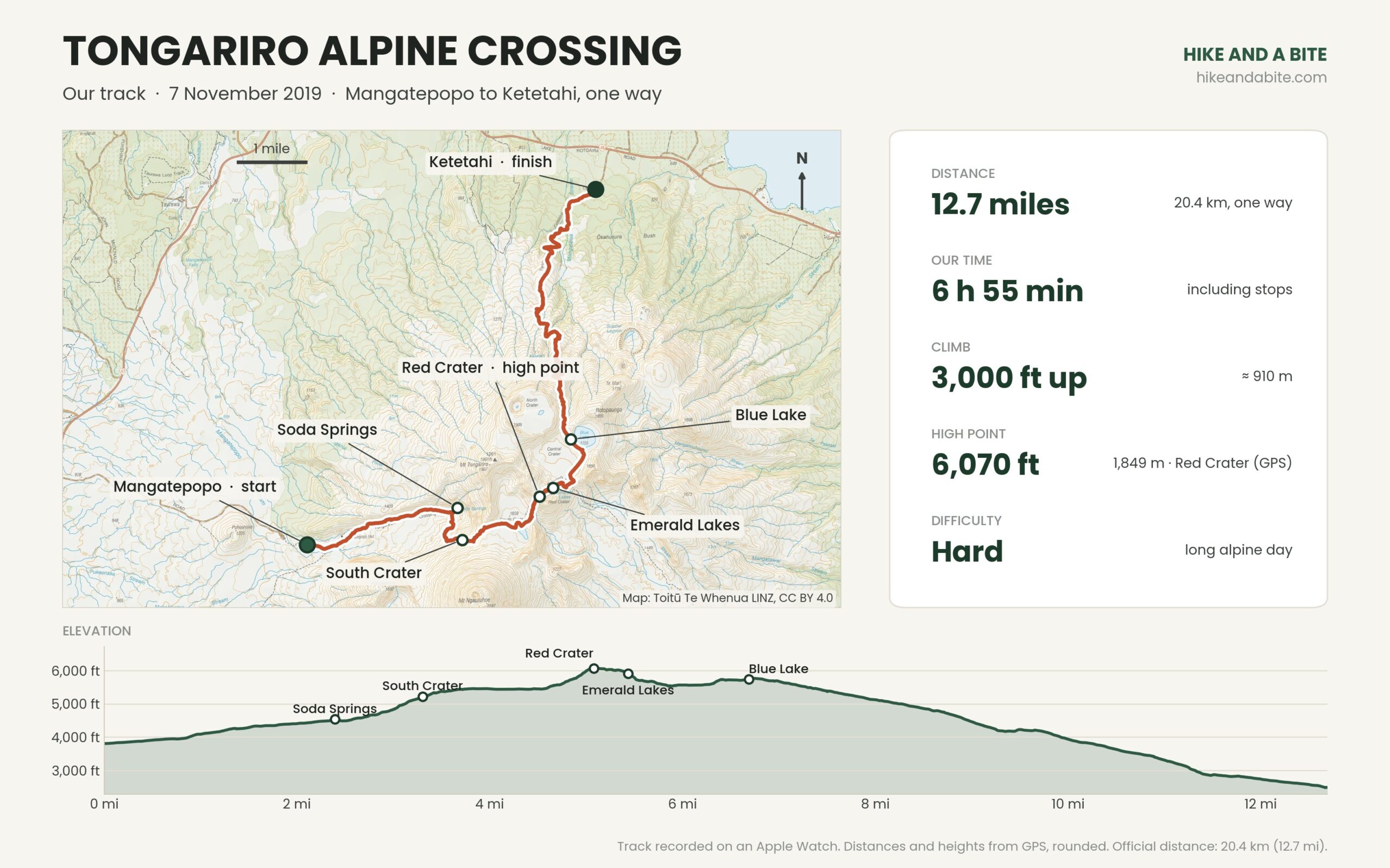
Want recent trail reports from other hikers? The AllTrails page for the Tongariro Alpine Crossing has thousands of reviews and up-to-date conditions.
Tongariro Alpine Crossing FAQ
How long is the Tongariro Alpine Crossing?
Our watch measured 12.7 miles (20.4 km) one way, while DOC lists 19.4 km (12 miles). DOC suggests 7 to 8 hours in summer and about 9 in winter. It took us about 7 hours with stops.
Do you need a shuttle?
Yes. It is a one-way track, and since the November 2025 fire private cars cannot drive into Mangatepopo. Book a shuttle directly or through the Taupo i-SITE.
How hard is it?
It is a long alpine day with about 3,000 ft (910 m) of climbing and about 4,300 ft (1,320 m) of descent, much of it on loose ground. It is doable for fit hikers, but it is not a casual walk.
What should I bring?
Layers including warm and waterproof ones, at least 2 litres (about half a gallon) of water per person, plenty of food, and proper hiking footwear.
Planning the rest of the trip? See our 10 days on New Zealand’s North Island itinerary, and if you are staying in Taupo, read about our Taupo bungee jump.